Stairway to Heaven
Burke Mountain is a bedazzling jewel nestled into the beautiful hills of Olde Vermont!
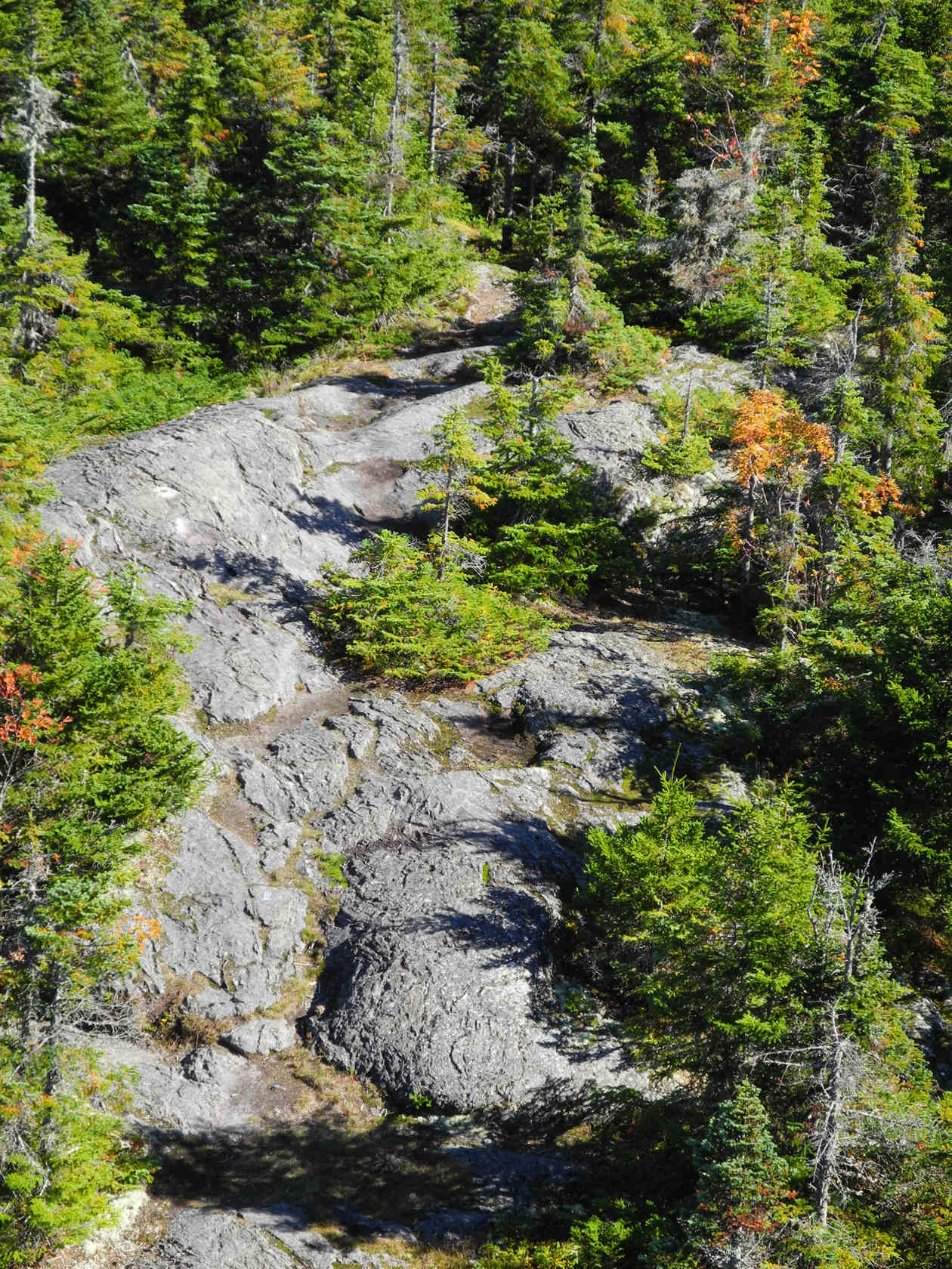
At the summit your eyes partake of a visual banquet of sky, rock, lichen, moss, and wind-blown trees. For dessert, take in the panoramic views of the surrounding Vermont and New Hampshire mountain ranges.
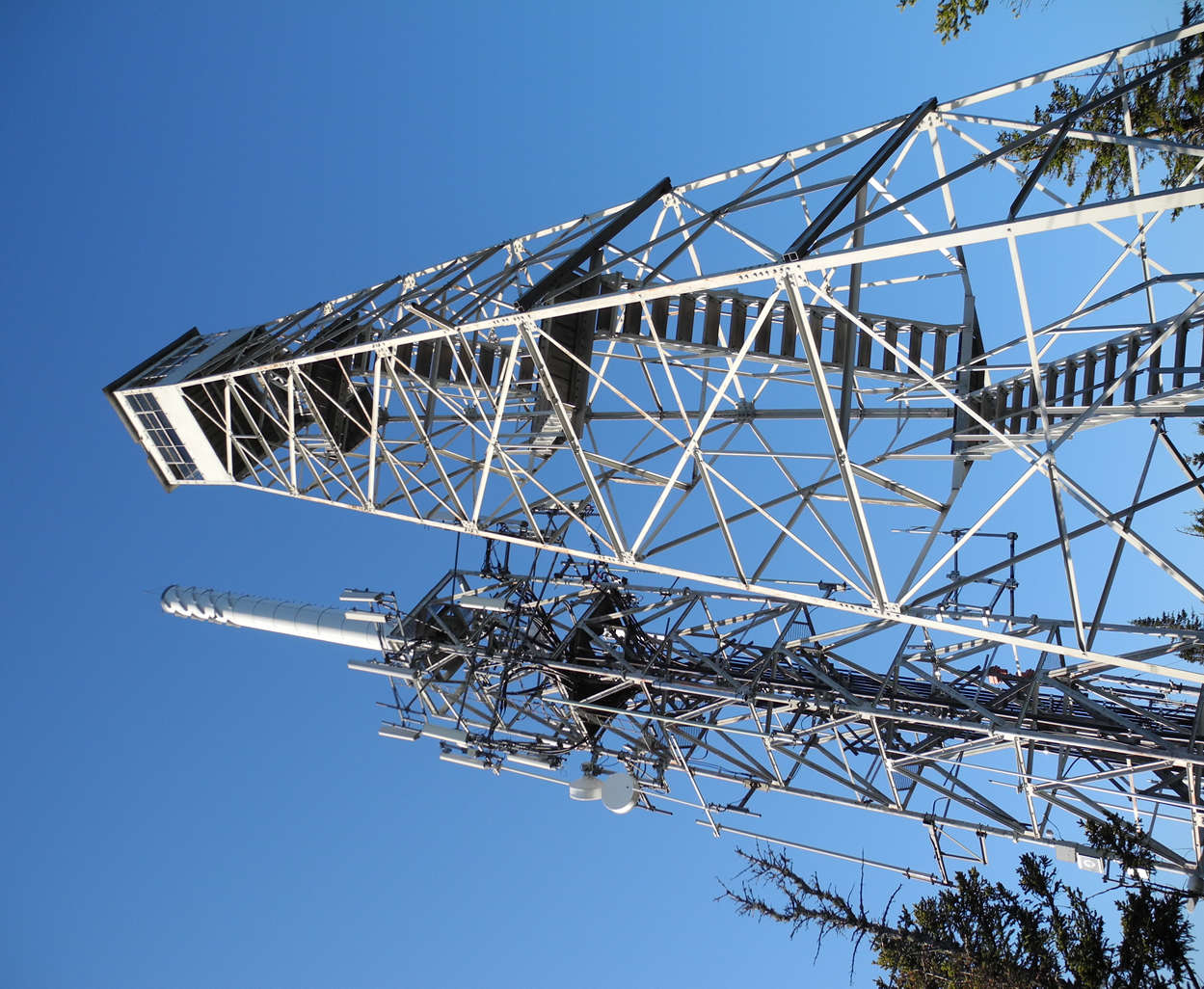
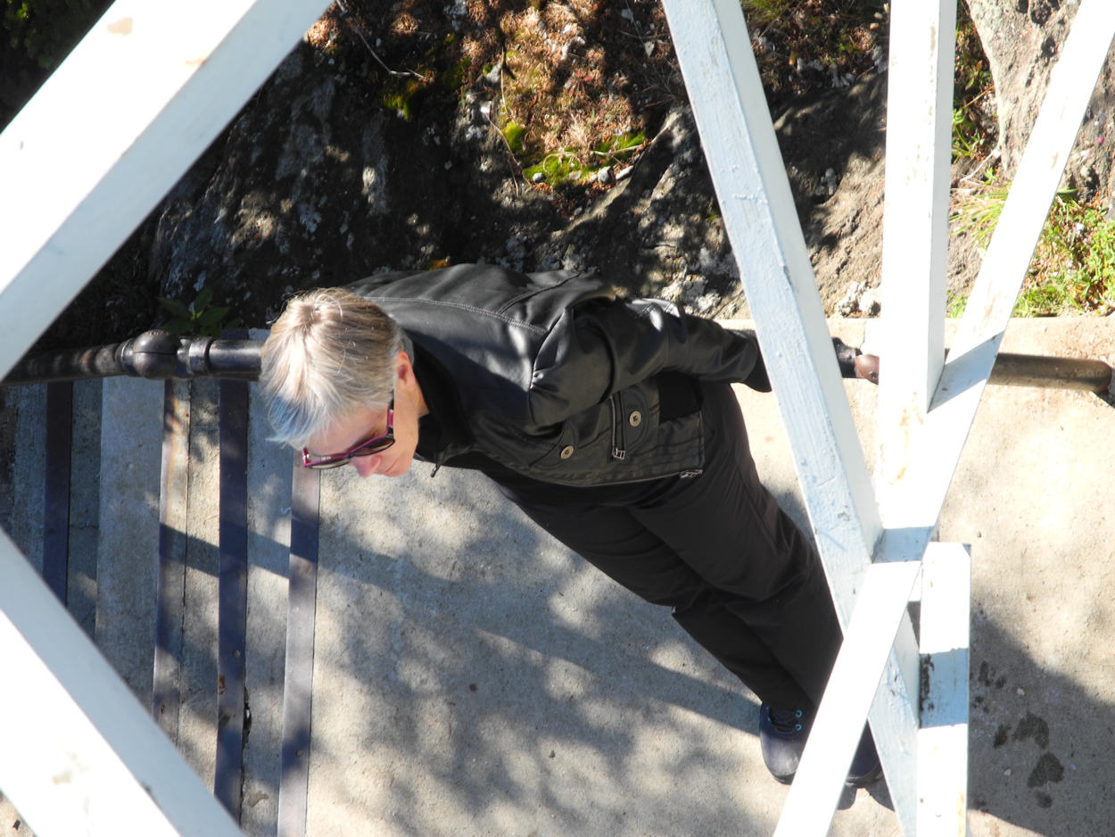
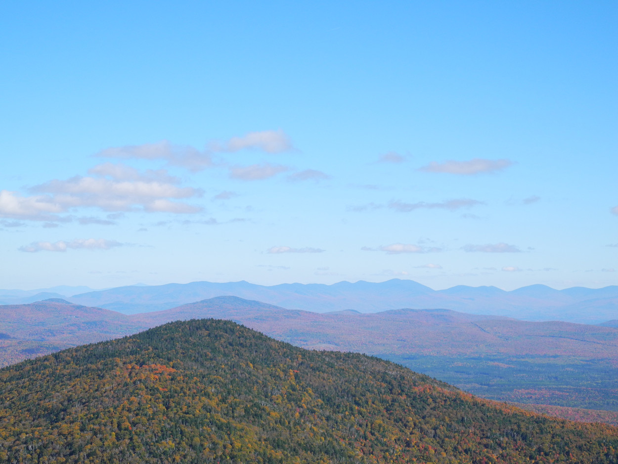
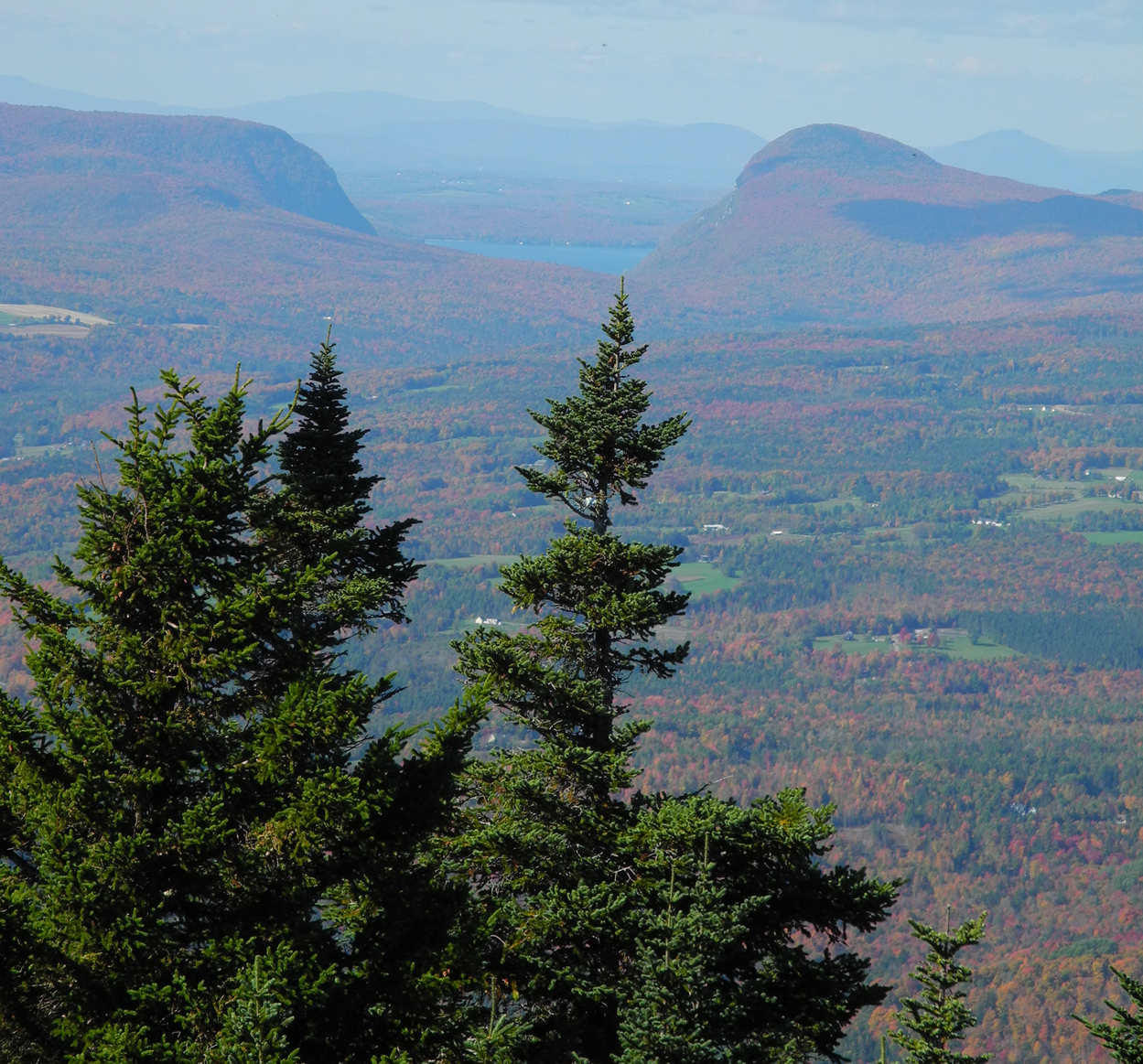
But wait! There's more! Accentuate the whole experience with a five-story climb up the observation tower. That's where these photos were taken.
Once part of a network of fire watch towers, the observation tower was de-commissioned by the fire services decades ago, but still maintained for public use. Before Covid vandals smashed out all the cabin windows and defaced the area. A-holes! Repairs have been made since then, as well as replacement of the wooden steps.
(Click Photos to Enlarge)
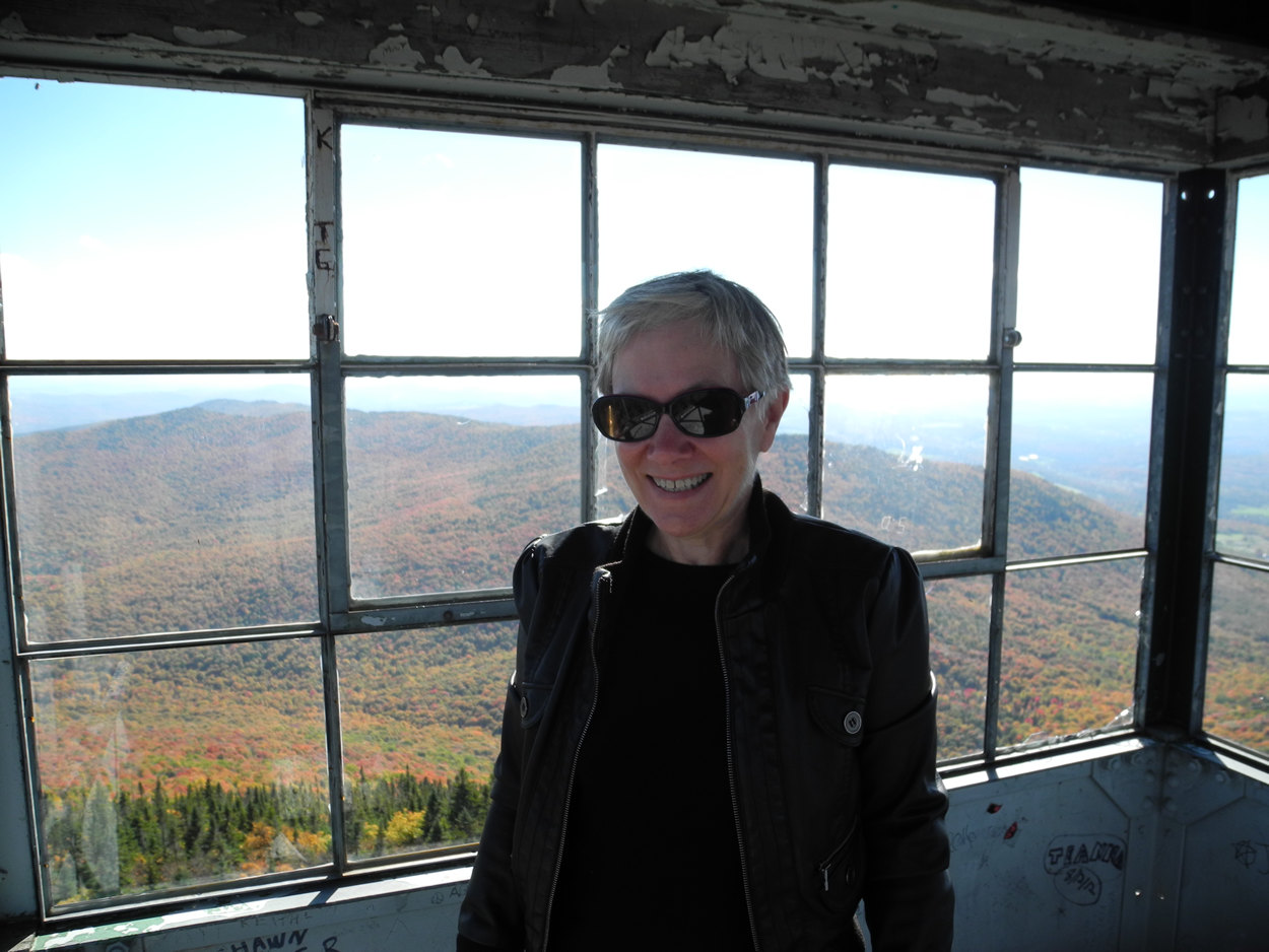
Not the clearest fall day. Warm, but pretty hazy here in late afternoon.
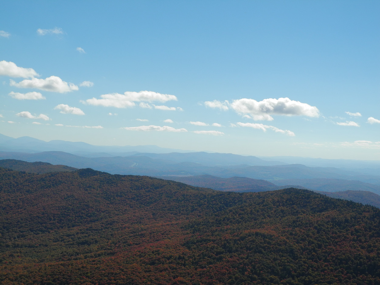
These ranges are in the Northeast Kingdom and extend across the border into Quebec.
This shot is zoomed - Lake Willoughby is twelve nautical miles from Burke Mountain according to Google Maps.
Imagine yourself as a crow perched atop that spruce tree!


The site and the road to this de-commissioned Air Force radar site have been in private hands for a long time and public access is barred, so I never got the chance to visit the site, which, as a former AF radar repairman (773rd), would have interested me.
If you zoom out in Google Maps you'll probably see what attracted me to go riding out there.
(Click image below to open in Google Maps)
 .
.Imagine a time when this was molten rock.