We can just see the Abby across Lake Memphremagog near the upper right-hand corner.
The Brothers (and Sisters, apparently) are famous for producing cheese. They've been finishing their Abby since before I moved here, so over fify years. Very nice photos on their website.
Viewed from Millionaire's Row outside of Georgeville.
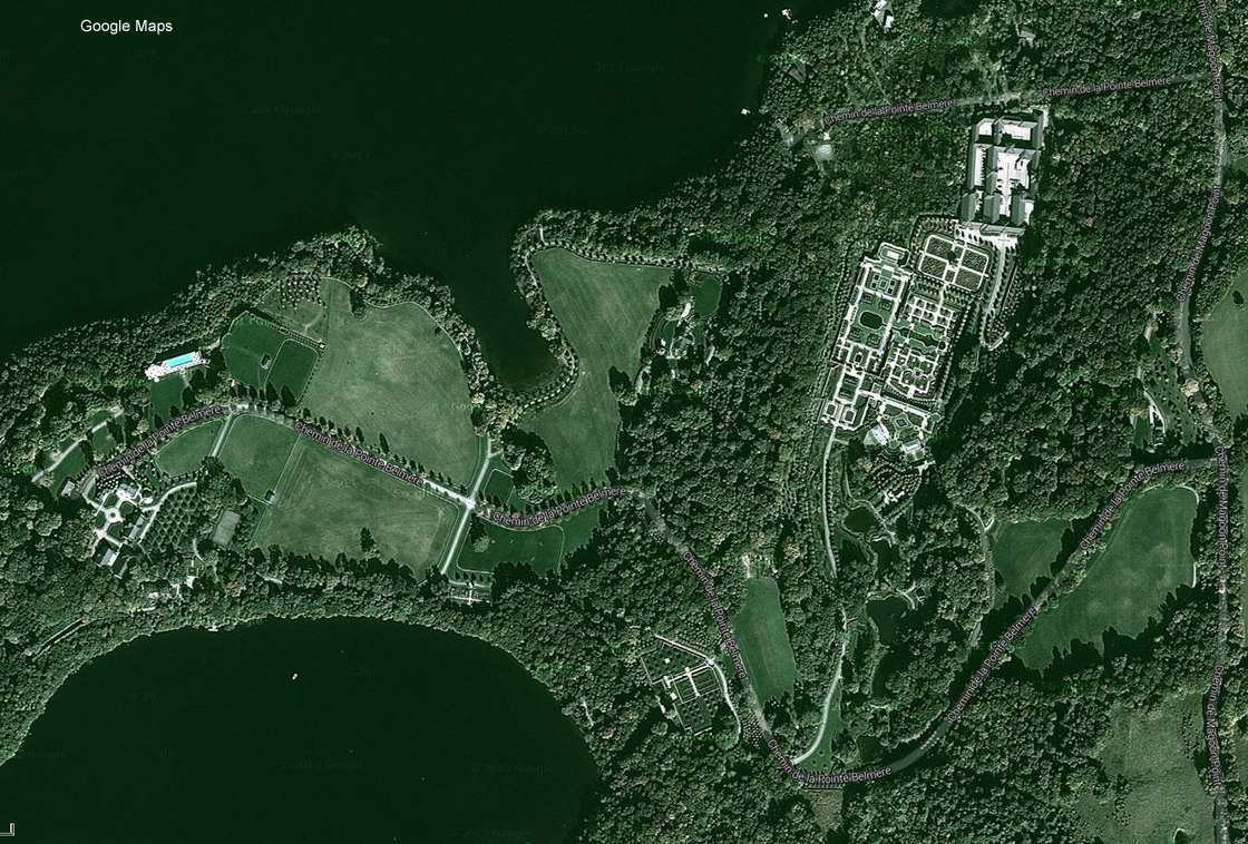
The Belmere estate, a little summer place of Quebec's Desmarais family, though it wouldn't be surprising if they rarely, or even ever, go there.
For a better idea of Belmere's true grandiosity, see the Sherbooke Tribune's article entitled "The opulent gardens of Versailles… in Quebec". It features historian Pierre Lahoud's stunning ariel photography. This is how the 1% live!
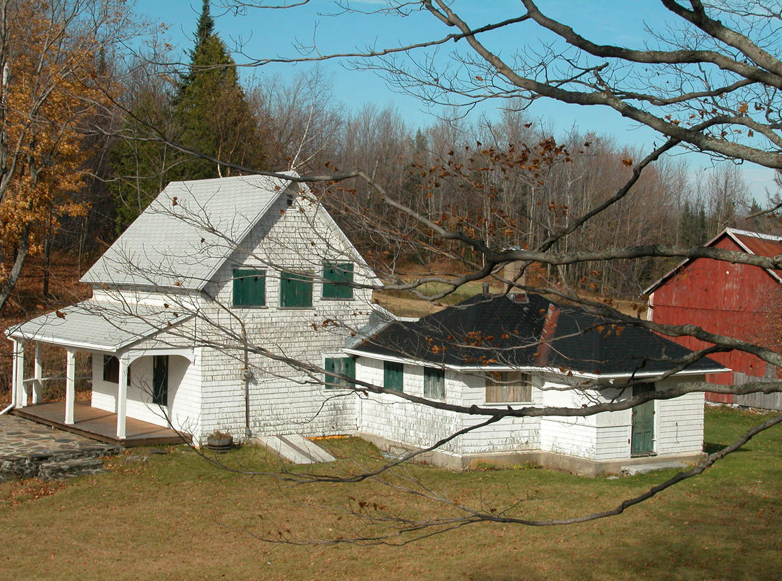
This farmhouse sits atop an escarpment on the west shore of Fitch Bay. Its commanding views include Fitch Bay and Lake Memphremagog.
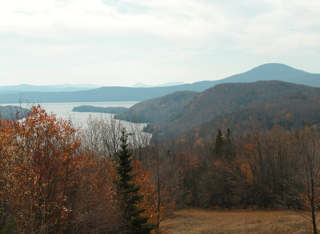
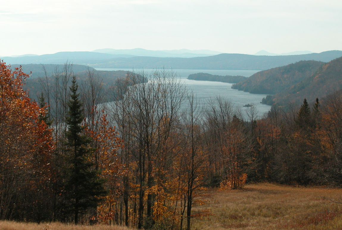
As you can well see in the photo below, that escarpment seemingly climbs out of Lake Memphremagog and onto the west shore of Fitch Bay before heading northeast (**).
After following Fitch Bay's western shore it continues five miles before it commences to follow the western shore of Lake Massawippi. And on it goes, not ending until **(Richmond?). Altogether, about 34 miles of steep hills and sheer hillsides.
The Hermitage sits on Bunker Hill (Collin Bunker), the five-mile stretch between Fitch Bay and Lake Massawippi.
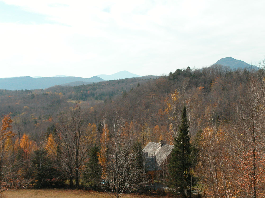
Owl's Head (closest peak at right below) is a ski mountain on the western shore of Lake Memphremagog. We look at it here to the southwest from the eastern shore.
The Owl's Head summit is 2,470 ft (756 m) and its base elevation is 682 ft (216 m), for a verticle fall of 1,772 ft (540 m). With the mountain base beginning right at the water, views of Lake Memphremagog from trails on the mountain are nothing short of stunning!
Jay Peak, Vermont is the more distant peak seen dead center in the photo. Jay's summit is 3,968 ft (1,209 m) and its base elevation is 1,815 ft (553 m). That gives it a vertical drop of 2,153 ft (656 m).
The scenic area surrounding Jay is a popular motorcyclist destination during summer and fall.
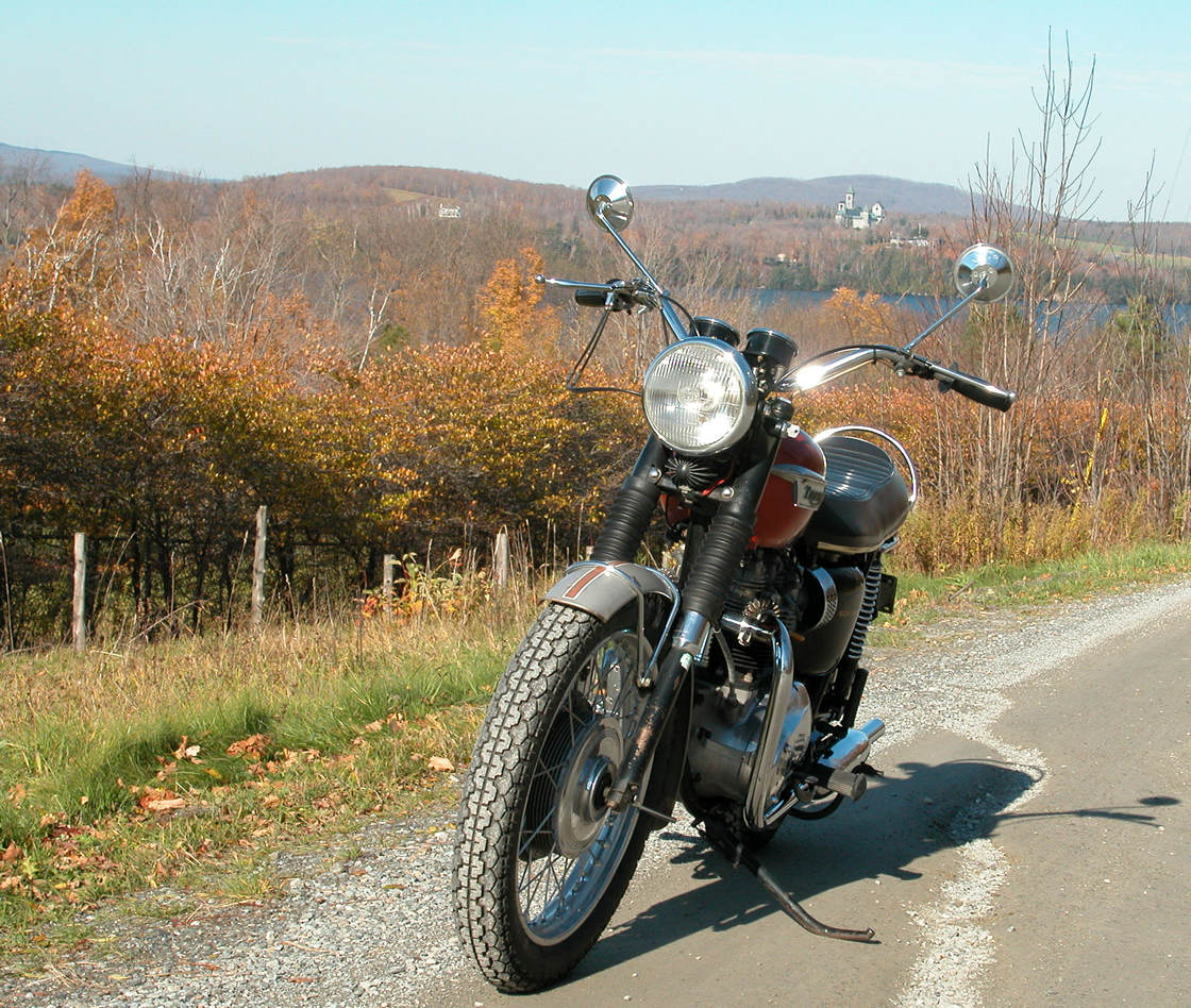
There she is, the original 1969 T120R 650 Bonneville"
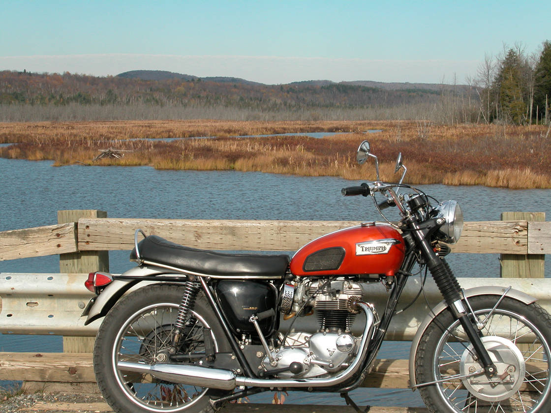
Bonnie in original form. Note the exhaust balance tube, the zenner beneath the headlight, painted fenders, grab rail, etc.
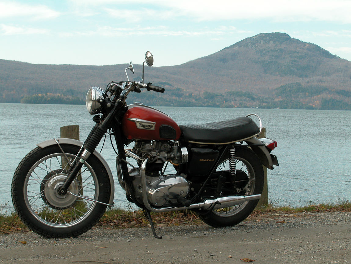
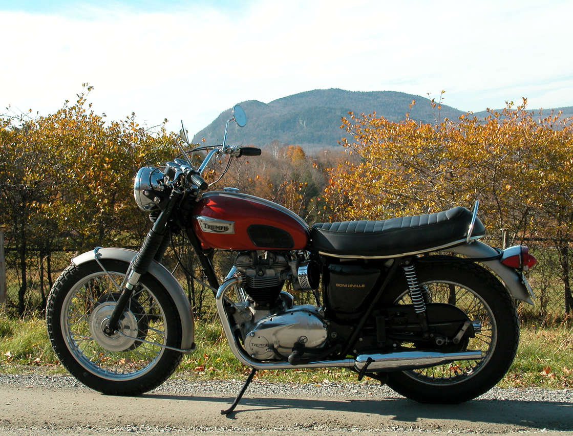
The original Bonnie from the timing side. Original knee pads, original brittle yellow plastic fuel lines.

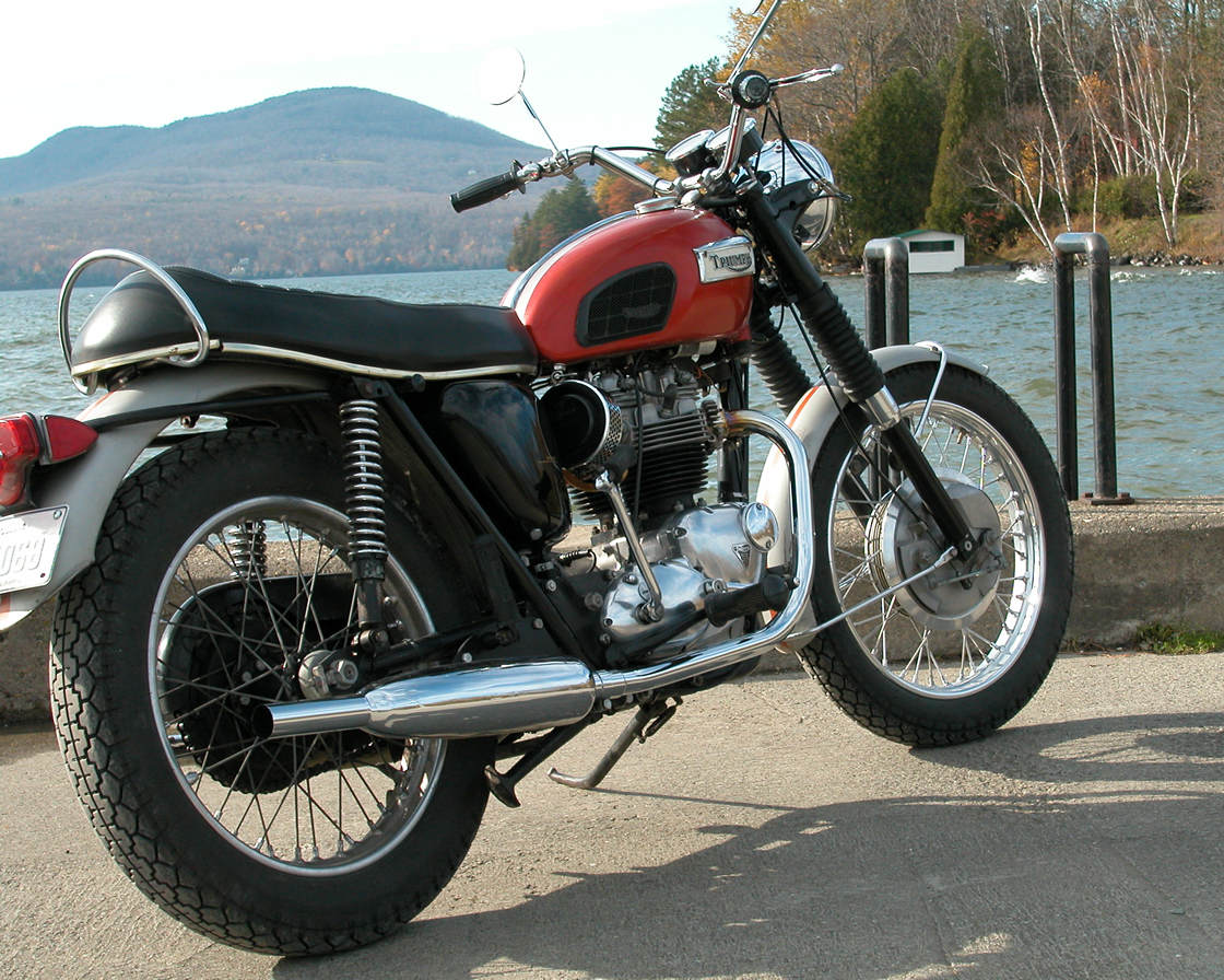
One last view of the original Bonnie, from the back on the Cedarville Wharf. Racing stripes, original badges, western handlebars.
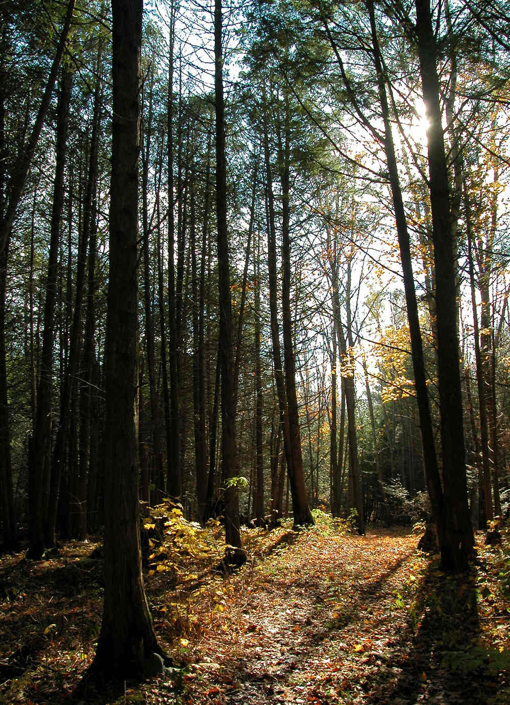
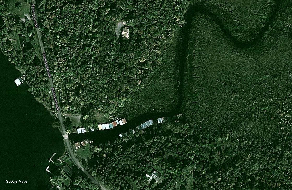
The cedars of Cedarville.